Best Breckenridge Hikes
Quick Summary
- 200+ miles of trails wind through the Tenmile Range, from gentle riverside paths to Colorado 14ers.
- Trails for every level — easy family loops like Iowa Hill, moderate alpine lake treks to McCullough Gulch, and the challenging summit of Quandary Peak.
- Peak season runs June through October, with snowshoeing and winter hiking extending the adventure year-round.
- Waterfalls, wildflowers, and wildlife reward hikers on trails like Mohawk Lakes and McCullough Gulch.
- Start your day from Hotel Alpenrock, slopeside lodging at the base of Peak 9 — most trailheads are a 10- to 15-minute drive.
From the slopeside doors of Hotel Alpenrock at the base of Peak 9, you’re a short drive from trailheads ranging from easy strolls to leg-burning summit pushes.
What Makes Breckenridge One of Colorado's Best Hiking Destinations?
Breckenridge sits at 9,600 feet in the heart of the Tenmile Range, surrounded by 13,000- and 14,000-foot peaks, all within a 15-minute drive of Main Street. The primary season runs June through October, but groomed routes like Boreas Pass and Iowa Hill welcome snowshoers all winter. Many trails follow Gold Rush-era mining roads past abandoned cabins and rusted ore carts, so the routes are as storied as they are scenic. For a complete overview, browse our Breckenridge guide.
Which Easy Hikes in Breckenridge Are Best for Families?
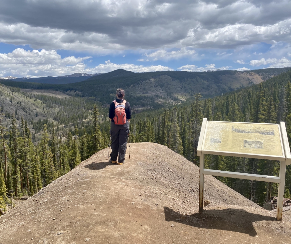
These trails stay mostly below treeline with well-maintained surfaces, perfect for families, first-time altitude hikers, and anyone easing into the elevation.
Burro Trail
Distance: 6 miles round trip | Elevation Gain: 915 ft | Difficulty: Easy-Moderate | Parking: Base of Peak 9, ample
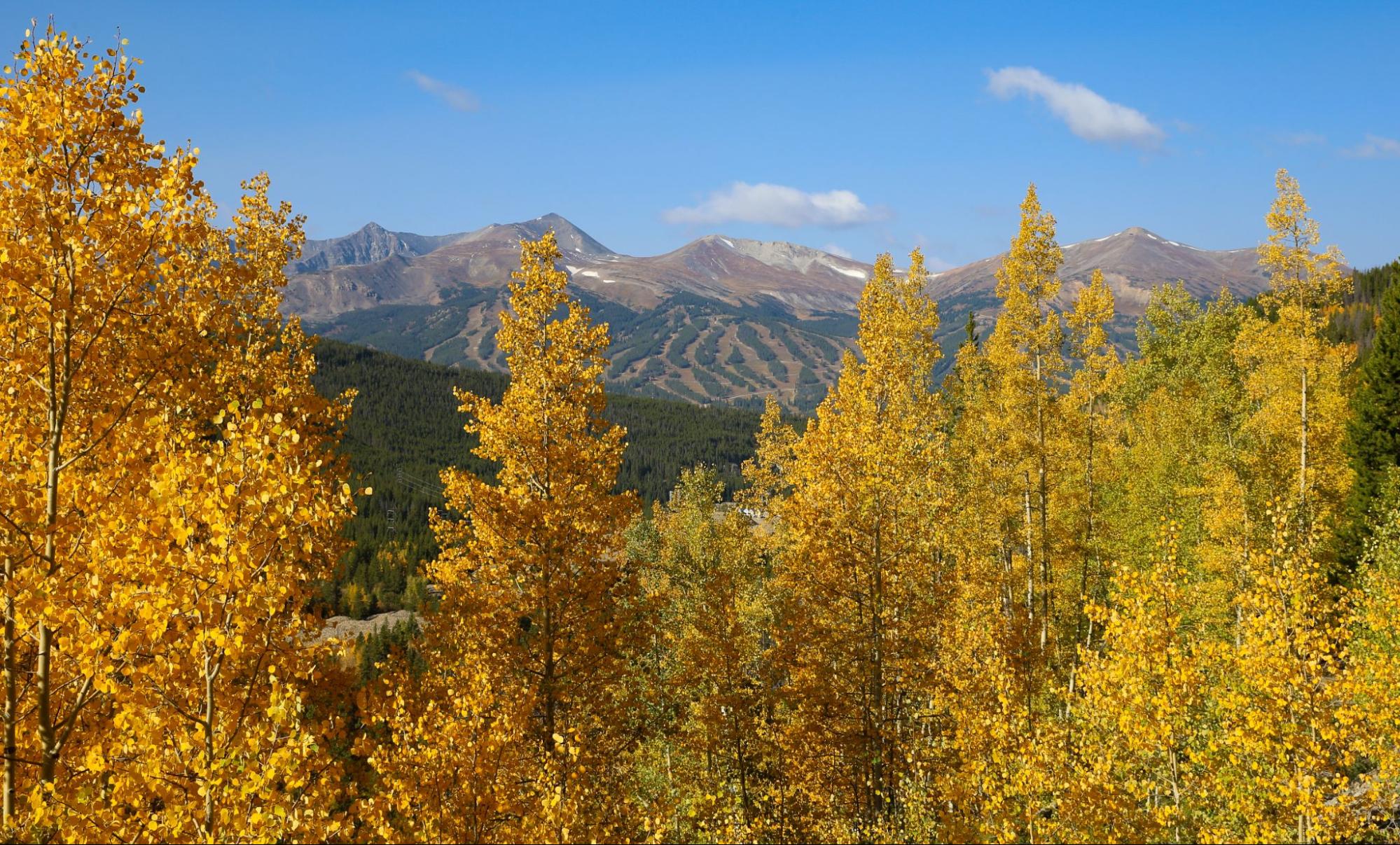
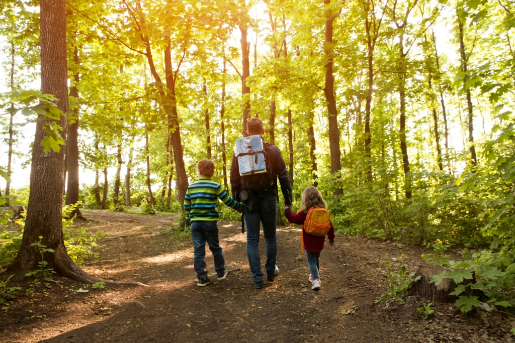
Starting practically in Hotel Alpenrock’s backyard, the Burro Trail climbs through aspen groves that turn gold in September, gaining just under 1,000 feet over three miles with sweeping Tenmile Range views. It’s an ideal first-morning hike while you adjust to the altitude.
Iowa Hill Trail
Distance: 1.2-mile loop | Elevation Gain: 232 ft | Difficulty: Easy | Parking: Airport Road, ample
Interpretive signs along this quick loop turn the walk into an outdoor mining-history lesson, and the gentle grade suits little hikers. In winter it doubles as a snowshoe-friendly path.
Boreas Pass Road
Distance: Up to 6 miles round trip | Elevation Gain: Minimal | Difficulty: Easy | Parking: Roadside
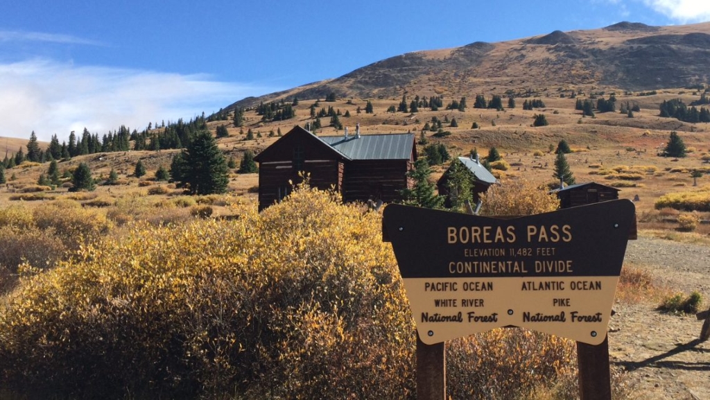
This wide railroad grade climbs gently along the old Denver, South Park and Pacific line through wildflower meadows, and it’s stroller-friendly in dry conditions. In winter it becomes one of the area’s most popular groomed snowshoe routes, accessible from the Breckenridge Nordic Center. Turn around at any point to tailor the distance.
Blue River Trail
Distance: 3 miles round trip | Elevation Gain: Minimal | Difficulty: Easy | Parking: Breckenridge Nordic Center, ample
This flat riverside path winds through wetlands and willow thickets where kids can spot trout and watch for moose. It’s a peaceful first-day walk while you’re still acclimating.
Sawmill Reservoir
Distance: 1.3 miles round trip | Elevation Gain: Minimal | Difficulty: Easy | Parking: End of Sawmill Road, limited
A short, satisfying loop around a scenic reservoir above town, easy to squeeze in before dinner. Arrive early, as parking is limited.
What Are the Best Moderate Hikes Near Breckenridge?
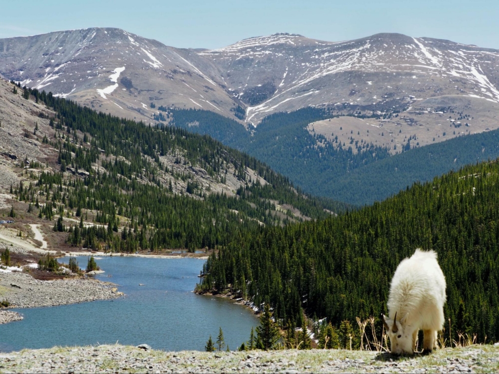
Moderate trails push above treeline into alpine basins, past waterfalls, and through historic mining country. They require solid fitness and altitude prep, but the payoff is immense.
McCullough Gulch Trail
Distance: 2.7 miles round trip (6.4 if access road is closed) | Elevation Gain: 951 ft | Difficulty: Moderate | Parking: County Road 851, limited
The trail follows a creek past cascading waterfalls before opening into an alpine basin ringed by jagged peaks, with July wildflowers and a glassy upper lake. County Road 851 closes seasonally, which can double your distance, so check conditions and arrive early.
Mohawk Lakes via Spruce Creek Trail
Distance: 8.6 miles round trip | Elevation Gain: 2,129 ft | Difficulty: Moderate-Difficult | Parking: Spruce Creek Road, very limited (STRAP shuttle available)
You’ll pass thundering Continental Falls, climb through historic mining ruins, and finish at upper lakes set in a dramatic cirque with waterfalls pouring off the cliffs. Consider the STRAP shuttle from town, start early, and pace yourself for the gain.
Sallie Barber Mine Trail
Distance: 2.8 miles round trip | Elevation Gain: 406 ft | Difficulty: Easy-Moderate | Parking: French Gulch Road area
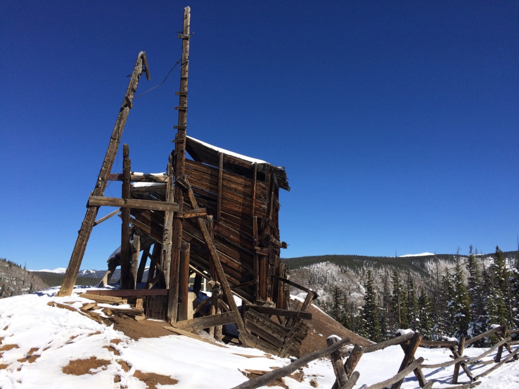
This wide former mining road passes the remains of one of the area’s most productive gold operations. It’s a quieter alternative to the popular gulch trails, with history at every step.
Black Powder Pass
Distance: 3.4 miles round trip | Elevation Gain: 1,000 ft | Difficulty: Moderate | Parking: Boreas Pass area
The trail climbs above treeline to a 12,000-foot summit with 360-degree views across the Tenmile Range. Start early to beat afternoon thunderstorms, and combine it with the Boreas Pass area for a longer loop.
What Challenging Hikes Should Experienced Hikers Try in Breckenridge?
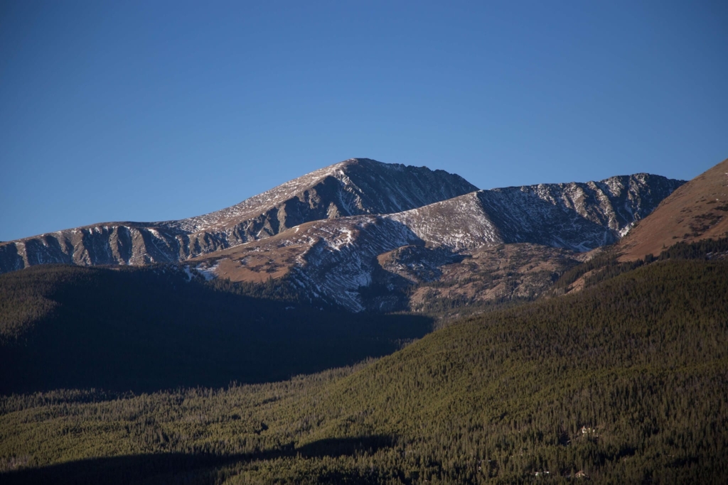
Big elevation gains, exposed ridgelines, and summits above 14,000 feet. Early starts and respect for alpine conditions are essential.
Quandary Peak
Distance: 6.75 miles round trip | Elevation Gain: 3,326 ft | Difficulty: Challenging | Parking: Very limited, narrow dirt access road (shuttle available)
At 14,265 feet, Quandary is the crown jewel of Breckenridge hiking, climbing through forest and then above treeline along a rocky ridge where mountain goats graze near the summit. In 2026, a shuttle runs from Breckenridge Station ($15 round trip, 6:30 a.m. to 5:30 p.m., reservations recommended) to ease trailhead congestion. Start before sunrise to summit by mid-morning, and acclimate for a day or two before attempting it.
Crystal Lake Trail
Distance: 9.5 miles round trip | Elevation Gain: 2,500+ ft | Difficulty: Difficult | Parking: County Road 850, limited
Crystal Lake sits in a high basin framed by rocky peaks and snowfields that linger well into summer. The distance, gain, and exposure make it one of the area’s most demanding day hikes, so bring layers and be ready to turn around if weather moves in.
Bald Mountain Trail
Distance: Varies by route | Elevation Gain: Significant | Difficulty: Difficult | Parking: Multiple access points
Bald Mountain’s treeless summit spans the Tenmile Range, the town below, and peaks stretching toward the Continental Divide. You’re above treeline for much of the ascent with no shelter from wind or weather, and several routes reach the top depending on fitness and conditions.
Trail Comparison Table
| Trail Name | Distance (RT) | Elevation Gain | Difficulty | Best For | Trailhead Parking |
|---|---|---|---|---|---|
| Burro Trail | 6 mi | 915 ft | Easy-Moderate | Aspen groves, Tenmile Range views | Ample |
| Iowa Hill Trail | 1.2 mi loop | 232 ft | Easy | Families, mining history | Ample |
| Boreas Pass Road | Up to 6 mi | Minimal | Easy | Winter snowshoeing, wildflowers | Roadside |
| Blue River Trail | 3 mi | Minimal | Easy | Riverside stroll, families | Ample |
| Sawmill Reservoir | 1.3 mi | Minimal | Easy | Quick loop, all fitness levels | Limited |
| McCullough Gulch | 2.7 mi (up to 6.4 mi) | 951 ft | Moderate | Waterfalls, alpine lakes | Limited |
| Mohawk Lakes via Spruce Creek | 8.6 mi | 2,129 ft | Moderate-Difficult | Waterfalls, mining ruins, alpine lakes | Limited (shuttle available) |
| Sallie Barber Mine | 2.8 mi | 406 ft | Easy-Moderate | Mining history, solitude | Available |
| Black Powder Pass | 3.4 mi | 1,000 ft | Moderate | Above-treeline views | Available |
| Quandary Peak | 6.75 mi | 3,326 ft | Challenging | 14er summit, mountain goats | Limited (shuttle available) |
| Crystal Lake | 9.5 mi | 2,500+ ft | Difficult | Remote alpine lake | Limited |
| Bald Mountain | Varies | Significant | Difficult | Panoramic summit views | Multiple access points |
Ready to explore these trails? Book Your Stay at Hotel Alpenrock and start every hike from the base of Peak 9.
What’s the Best Time of Year To Hike in Breckenridge?
Summer (June through September) is prime season: trails are mostly snow-free by late June, wildflowers peak in July, and afternoon thunderstorms mean starting before 7 a.m. and getting below treeline by noon. Fall (September through October) brings golden aspens, cooler temperatures, and thinner crowds; the Burro Trail and Boreas Pass are spectacular when the leaves turn. In winter and spring, groomed routes like Boreas Pass and Iowa Hill welcome snowshoers, so stick to established paths, carry traction devices, and check avalanche conditions on steeper terrain. Find more cold-season ideas in our guide to winter things to do in Breckenridge.
What Should You Pack for a Breckenridge Hike?
At 9,600 feet and above, the air is thinner, the sun is stronger, and weather shifts fast. Arrive a day or two early to acclimate, and bring these on every hike:
- Water (at least 2 liters). Altitude dehydrates you faster than you’d expect.
- Sun protection (SPF 50+, hat, sunglasses). UV intensity increases roughly 10% per 1,000 feet.
- Layers. Temperatures can shift 20 to 30 degrees between base and summit.
- Calorie-dense trail snacks. Your body burns more at altitude.
- Sturdy footwear with ankle support for rocky, root-laced terrain.
- Rain jacket. Afternoon storms roll in fast over the Tenmile Range.
- Trail map or offline AllTrails route. Cell service is unreliable on many trails.
If you’re new to altitude, expect to move slower than usual, and that’s completely fine. The mountains aren’t going anywhere.
Where Can You Find Waterfalls on Breckenridge Hikes?
McCullough Gulch delivers cascading falls within the first mile, most dramatic in late June and July when runoff peaks. Continental Falls on the Mohawk Lakes/Spruce Creek Trail is the area’s most impressive single waterfall, and it sits about two miles in, so you don’t need to complete the full hike to see it. By late August, flows diminish as the snowpack melts out.
How Can You Avoid Crowds on Popular Breckenridge Trails?
Quandary Peak, McCullough Gulch, and Mohawk Lakes feel crowded by mid-morning on summer weekends, so start before 7 a.m. or hike Tuesday through Thursday when trailhead lots stay open later. For built-in solitude, try lesser-known trails like Sallie Barber Mine or Lily Pad Lake. Between hikes, explore more summer activities in Breckenridge to round out your trip.
Why Hotel Alpenrock Is Your Basecamp for Breckenridge Hiking
Wake up at Hotel Alpenrock, grab a coffee at the Coffee Bar and Bistro, and you’re at the trailhead in 10 to 15 minutes. After a day on the trail, soak tired muscles in the outdoor hot tubs and enjoy the full range of amenities, then head to Edwin for mountain-inspired dishes and a nightcap at The Carter.
Between hikes, embark on Epic Discovery adventures, try mountain biking in Breckenridge, or take in sweeping views on a scenic trail and lift ride. With the mountains right outside your door, every day here writes a new chapter of your Breck story.
Book Your Stay and discover why Hotel Alpenrock is where the best Breckenridge hikes begin.
Frequently Asked Questions
Sawmill Reservoir and Iowa Hill are two standouts: both stay under two miles round trip, follow well-graded paths, and deliver alpine scenery without steep scrambles. Pack snacks, start early, and don’t skip the sunscreen, even on overcast days.
Continental Falls on the Mohawk Lakes Trail is the most popular waterfall hike, cascading down a rocky face about two miles in. Smaller cascades line the lower Quandary Peak trail during peak snowmelt in June and early July.
Yes, and it’s a completely different experience. The Blue River Rec Path and parts of the Peaks Trail stay accessible with microspikes or snowshoes. Expect packed snow, shorter daylight, and far fewer crowds, and check avalanche conditions before going above treeline.
The Burro Trail and the Blue River Recreation Path start right at the edge of town, no car needed. The Burro Trail climbs through aspens above the historic district, while the paved rec path follows the river south toward Boreas Pass.
The trailhead sits along Highway 9 about eight miles south of town, and the small pulloff lot holds roughly 20 vehicles, so arrive before 8 a.m. on summer weekends. There’s no parking fee. The trail climbs steeply to an alpine lake near 12,000 feet, so acclimate for a day or two first.